Pack Your Umbrella: Heavy Rain Forecasted for Thursday
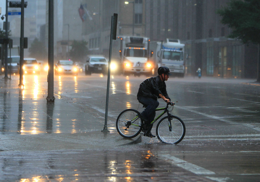
Source: Heavy rains and wind blow through downtown, Tuesday, Nov. 17, 2015. (Mark Mulligan/Houston Chronicle via Getty Images)
Houston — Following Wednesday’s pop-up thunderstorms, more rain and scattered thunderstorms are expected Thursday, as a rare summer cool front heads toward the Houston area.
As of Wednesday evening, the National Weather Service is calling for partly cloudy skies with scattered thunderstorms, with a chance of the storms extending into the late evening hours. There is a chance of rain at 40% coverage, bringing with it cooler temperatures as low as 78ºF.
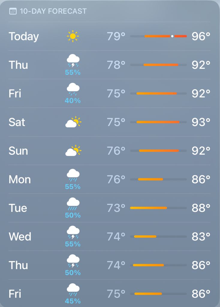
Source: Apple via National Weather Service
The cool front is expected to take full effect starting Sunday, taking daily high temperatures from the mid to low 90s down into high to low 80s. Lows during the evenings are expected to reach the low 70s. The current 10-day forecast shows a chance of rain through Friday, and then again Monday through every day to next Friday, July 26.
Pay attention to local weather updates and traffic conditions, as pop-up storms can drop a couple inches of rain in short amounts of time. Some streets may experience flooding.


